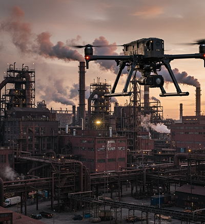
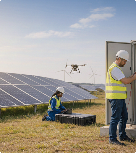
We don’t operate on consumer-grade hardware. Our business is built around a heavy-lift DJI Matrice 400 fleet coupled with advanced payloads, continuous-power tethered systems, and industry-leading processing software. Backed by Transport Canada Advanced RPAS, Operator, and BVLOS Level 1 licensing, we legally and safely execute missions that standard operators cannot touch.
We invest in the highest caliber of aerial technology to guarantee precision, safety, and depth of data on every single asset we service.
Our fleet is fully equipped to handle any data capture requirement, including:
High-Accuracy Mapping: The Zenmuse L3 (LiDAR) and P1 (Photogrammetry) sensors capture survey-grade terrain models and digital twins.
Thermal & Tactical Inspection: The Zenmuse H30T sensor provides high-resolution thermal imaging, powerful zoom capabilities, and laser rangefinding.
Site Management & Safety: High-output aerial lighting and speaker payloads allow us to manage low-light operations, security, and real-time site communication.
Aerial Washing Booms: Designed for high-rise and industrial structures, our specialized drone washing booms eliminate the need for dangerous scaffolding, allowing us to pressure-wash windows and building facades safely from the ground.
Continuous Tethered Systems: For prolonged inspection, security, or lighting missions, we utilize a tethered power system featuring fine-optic data cables. This delivers unlimited flight times and unhackable, real-time data transmission directly to the ground station.
Data is only as good as the software used to process it. We use DJI Terra to transform raw aerial imagery and LiDAR point clouds into highly detailed 2D maps, 3D reconstructions, and volumetric reports. This ensures our clients receive clean, actionable, and survey-accurate data models.
Data accuracy is the foundation of industrial drone work. We deploy the DJI D-RTK 3 high-precision GNSS receiver alongside our M400 fleet. By receiving real-time differential corrections, this setup counteracts GPS drift, providing centimeter-level positioning accuracy. This ensures that every 3D model, asset inspection, or automated flight path is perfectly repeatable and mathematically precise.
Operating in industrial settings requires strict adherence to aviation law and safety protocols. With our advanced certifications, including Beyond Visual Line of Sight (BVLOS), we manage the entire regulatory and flight planning process from start to finish.
Whether you need centimeter-accurate topographic maps, detailed thermal infrastructure reports, or high-rise building maintenance, we bring the hardware, the licensing, and the expertise to get it done efficiently.